uncategorized
ISRO to Provide Space-Based Data for Kerala Dam Flood Risk Assessment
High-resolution terrain data to aid in flood modeling and inundation identification

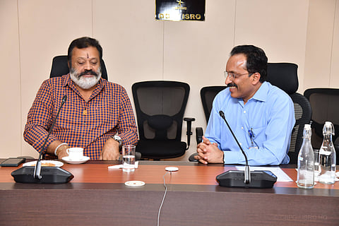

Bengaluru- The Indian Space Technology Research and Development Agency (ISRO) has said that it will provide space-based inputs for the flood risk assessment of two dams in Kerala.
ISRO Chairman S Somanath told Union Minister of State for Petroleum and Natural Gas and Tourism Suresh Gopi, during a meeting at Antariksh Bhawan in Bengaluru on Wednesday, that the agency will provide high-resolution terrain data for researchers to engage in flood modelling and assess probable inundation by identifying potential flood risks, ISRO said in a release on Wednesday.
S Somanath also informed the minister about developing a prototype solution integrating flood risk with rescue and rehabilitation planning along with satellite communication capabilities," it said. Gopi discussed the Mullaperiyar issue with several scientific and technical wings.
The minister also expressed concern to the ISRO scientists on the need to evaluate the worst-case flood scenario linked to these two dams.
You can also join our WhatsApp group to get premium and selected news of The Mooknayak on WhatsApp. Click here to join the WhatsApp group.